Leaders in Advanced Aerial Imaging Solutions®

DRONE FIDELITY™ is a Veteran-Owned Small Business (VOSB) and Drone Service Provider (DSP) based in Gaithersburg, MD, proudly serving the Washington Metropolitan Area (DMV). We deliver dependable, Advanced Aerial Imaging Solutions® that empower professionals to plan, inspect, and document the world around them — with speed, precision, and confidence. Your success is our success, so we guarantee that our deliverables meet the highest standards of precision, quality, and client value.
From tower and infrastructure inspections, construction progress monitoring & measurement, insurance assessments, roofing and solar evaluations, to arborist services — our advanced aerial photographic and video solutions combine centimeter-level accuracy, thermal imaging, 2D orthomosaic mapping, and 3D modeling to support better decisions and safer operations.
Project managers, inspectors, and public agencies rely on us for responsive, dependable aerial data collection that aligns with their goals and timelines. Every mission is executed with precision, professionalism, and a commitment to excellence. As your trusted partner, we manage the complexities of drone operations so you can stay focused on the bigger picture.
Why Choose Us?
Certified & Insured
FAA Part 107, EU A1/A2/A3 certified and fully insured for commercial drone operations
Cutting-Edge Equipment
Enterprise-class drones with AI, advanced mapping tools, and precision flight controls
Fast Turnaround
Secure digital media delivery in your preferred format within 24–72 hours
Straight Forward Pricing
Clear, upfront pricing with no surprises or hidden costs
Customer-Focused Support
Responsive, reliable service before, during, and after every project
Scalable Solutions
From detailed site surveys to expansive multi-site missions — we scale with you
Services We Offer
AEC Services
AEC drone mapping, measurement & monitoring for Architecture, Engineering & Construction — progress verification, orthomosaics, volumetrics, and 3D site models.
Aerial Asset Mapping
High-accuracy, AI-enhanced aerial mapping for roads, utilities, parks, and infrastructure assets
Cinematic Aerial Footage
4K video and high-resolution aerial images to promote your town, brand, or marketing campaign
Infrastructure Services
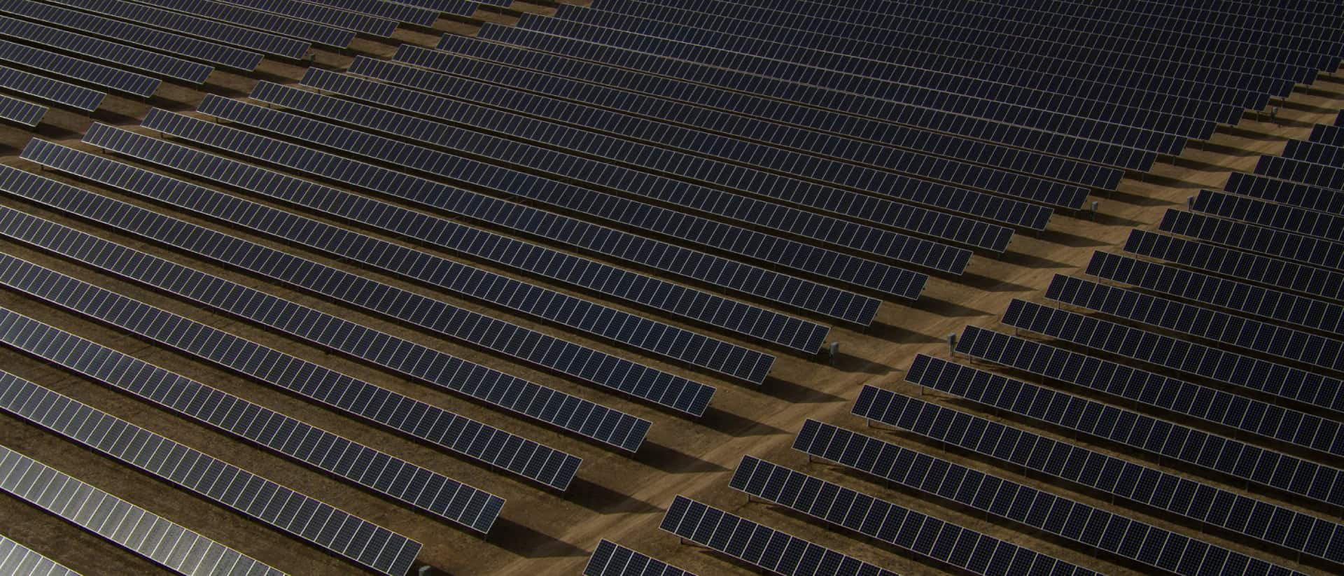
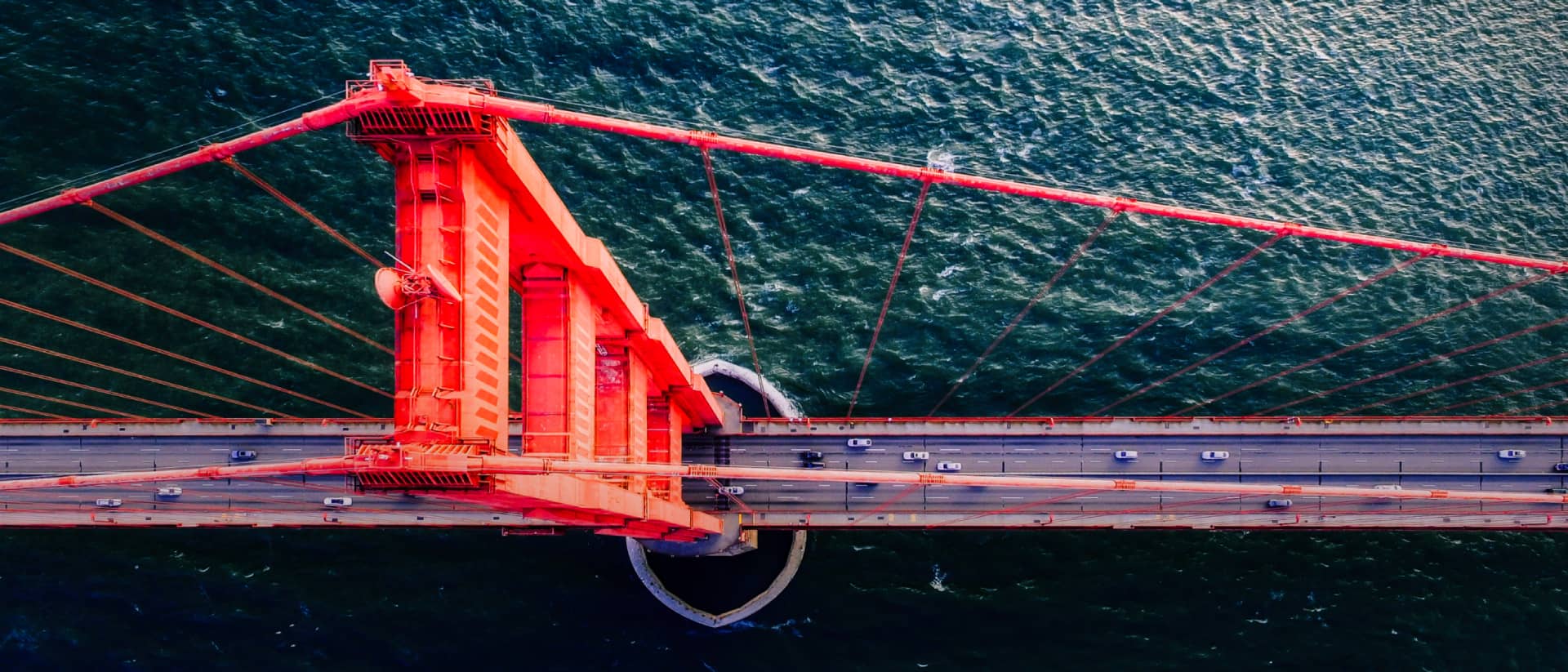
Aerial imaging and thermal analysis for towers, bridges, solar farms, and power lines
Insurance Services
Independent aerial inspections for claims, underwriting, and property condition reporting
Roofing & Solar
High-resolution roof and solar panel surveys, thermal anomaly detection, and 3D mapping
Tree Care Services
High-resolution photo, video, and thermal analysis of tree health and potential hazards
Ready to Take Your Project to New Heights?
At DRONE FIDELITY™, precision aerial technology meets industry expertise to deliver insights that drive better decisions. From inspections to mapping, we help keep your projects on track and your team informed at every stage. With a focus on accuracy and reliability, we transform aerial data collection and processing into results you can depend on. Click below to learn more.
Latest Articles
Photogrammetry vs LiDAR | Aerial Mapping Explained
Photogrammetry vs LiDAR | Aerial Mapping Explained Photogrammetry and…
Aerial Asset Mapping | Georeferenced Drone Maps
Aerial Asset Mapping | Georeferenced Drone Maps Aerial asset…
Drone Tree Inspections | Aerial Insight for Arborists
Drone Tree Inspections | Aerial Insight for Arborists Evaluating…
Drones in Insurance | Faster, Safer Assessments
Drones in Insurance | Faster, Safer Assessments With technology…
